Sunday, June 16, 2024
Happy Father's Day!


Today at church, we celebrated all the fathers. And each one received a bundle of six chocolate chip cookies. Yum!!!

Monday, June 17, 2024
We're now on our way to Blue Mesa Recreational Ranch Thousand Trails in Gunnison, Colorado. It is surrounded by some the most spectacular Rocky Mountain beauty to be found anywhere as well as the beautiful Blue Mesa Lake, which was formed by the Gunnison River beginning a few miles west of the city of Gunnison. It parallels Highway 50 for more than 20 miles to Blue Mesa Dam.
No matter what direction we go from the Blue Mesa Recreational Ranch Thousand Trails, we find plenty of incredible mountain country to explore and we're not disappointed!
We were made aware before we left to go to Blue Mesa Recreational Ranch Thousand Trails that the bridge that crosses the Blue Mesa Reservoir at Dillon Pinnacles between
Montrose and Gunnison is closed for structural repairs.


We left Matheson, Colorado at around 7:30 a.m. and headed toward Gunnison, Colorado to meet up with our dear friends -- Mike and Judy Pluto -- at the Blue Mesa Recreational Ranch Thousand Trails.


Leaving Colorado Springs, we drive by the Cheyenne Mountain State Park entrance.


We are now 8 miles from Cañon City and 67 miles from Salida.


Welcome to Cañon City. It is the county seat and the most populous municipality of Fremont County, with a city population of 17,141. Cañon City straddles the easterly flowing Arkansas River and is a popular tourist destination for sightseeing, whitewater rafting, and rock climbing. The city is known for its many public parks, fossil discoveries, Skyline Drive, The Royal Gorge railroad, the Royal Gorge bridge (see below), and extensive natural hiking paths.

Cañon City was laid out on January 17, 1858, during the Pike's Peak Gold Rush, but then the land was left idle. A new company "jumped the claim" to the town's site in late 1859, and it put up the first building in February 1860.

In 1861, the town raised two companies of volunteers to serve with the Second Colorado Infantry during the American Civil War. This regiment fought in skirmishes in nearby New Mexico and as far east as the Indian Territory (Oklahoma) and Missouri before ending its organization in 1865.
In 1862, A. M. Cassaday drilled for petroleum 6 miles north of Cañon City, close to a known oil seep. Cassaday struck oil at the depth of 50 feet, and he completed the first commercial oil well west of the Mississippi River. He drilled five or six more wells nearby, and he refined kerosene and fuel oil from the petroleum. Cassaday sold the products in Denver. A number of metal ore smelters were built in Cañon City following the discovery of gold at Cripple Creek in 1891.


On our way into Salida, the Arkansas River winds closely along the highway (see pictures above and below).


We are now 7 miles from Cotopaxi and 30 miles from Salida.


As we continue, we are now 4 miles from Cotopaxi and 23 miles from Salida. We can also begin to see the peaks within the San Isabel National Forest.


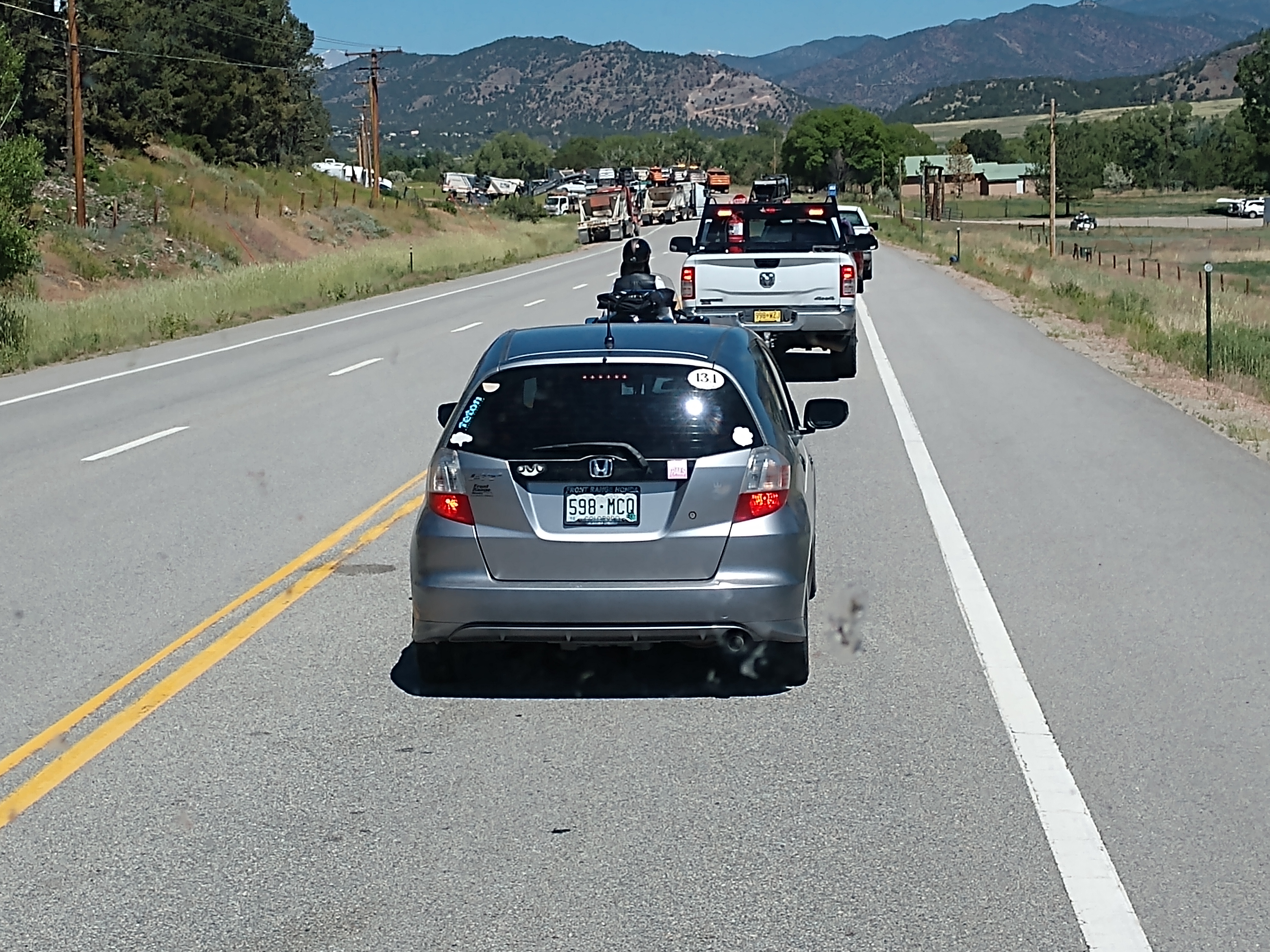
We just ran into some road construction that held us up for about 30 minutes.


We have just arrived at Salida, which has a population of 5,666. A post office has been in operation at Salida since 1881. Salida, meaning "exit" in Spanish, was named on account of its location near the point where the Arkansas River flows out of the valley and into Bighorn Sheep Canyon, upstream from the Royal Gorge.

The Sawatch Range runs north and south and is located roughly 10 miles west of Salida. The Mosquito Range parallels the Sawatch Range to the east, forming the Upper Arkansas Valley, and the southern terminus of the range, just east of Salida, is known locally as the Arkansas Hills. Methodist Mountain, which is a major feature on Salida's southern horizon, is the northernmost mountain in the Sangre de Cristo Mountains. To the north of Salida is the Upper Arkansas Valley and the town of Buena Vista.


And then we ran into some more road construction. We are now 60 miles from Gunnison, Colorado.


As we continued along Hwy 50, we came to the turnoff to the left (the Lake City Bridge that crosses the Gunnison River and continues on to Lake City). However, we continued on Hwy 50 toward the campground.


We have arrived at the Blue Mesa Recreational Ranch Thousand Trails.


Shown above and below are the campsites we occupied from the back.


Our campsite is shown above and below.


Mike & Judy Pluto's site is right next to our (as shown in the picture above and below).

What more could we ask for? Beauty is all around us and we enjoy the peaceful surroundings and friendship of our friends, Mike and Judy for the next couple of weeks!
Shirley & Mel


No comments:
Post a Comment