The Continental Divide sign had an inscription that told us we're at an elevation of 7,295 feet. It also told us that rainfall divides at this point. To the west it drains into the Pacific Ocean to the east into the Atlantic (see above sign).
Albuquerque is now 103 miles away.
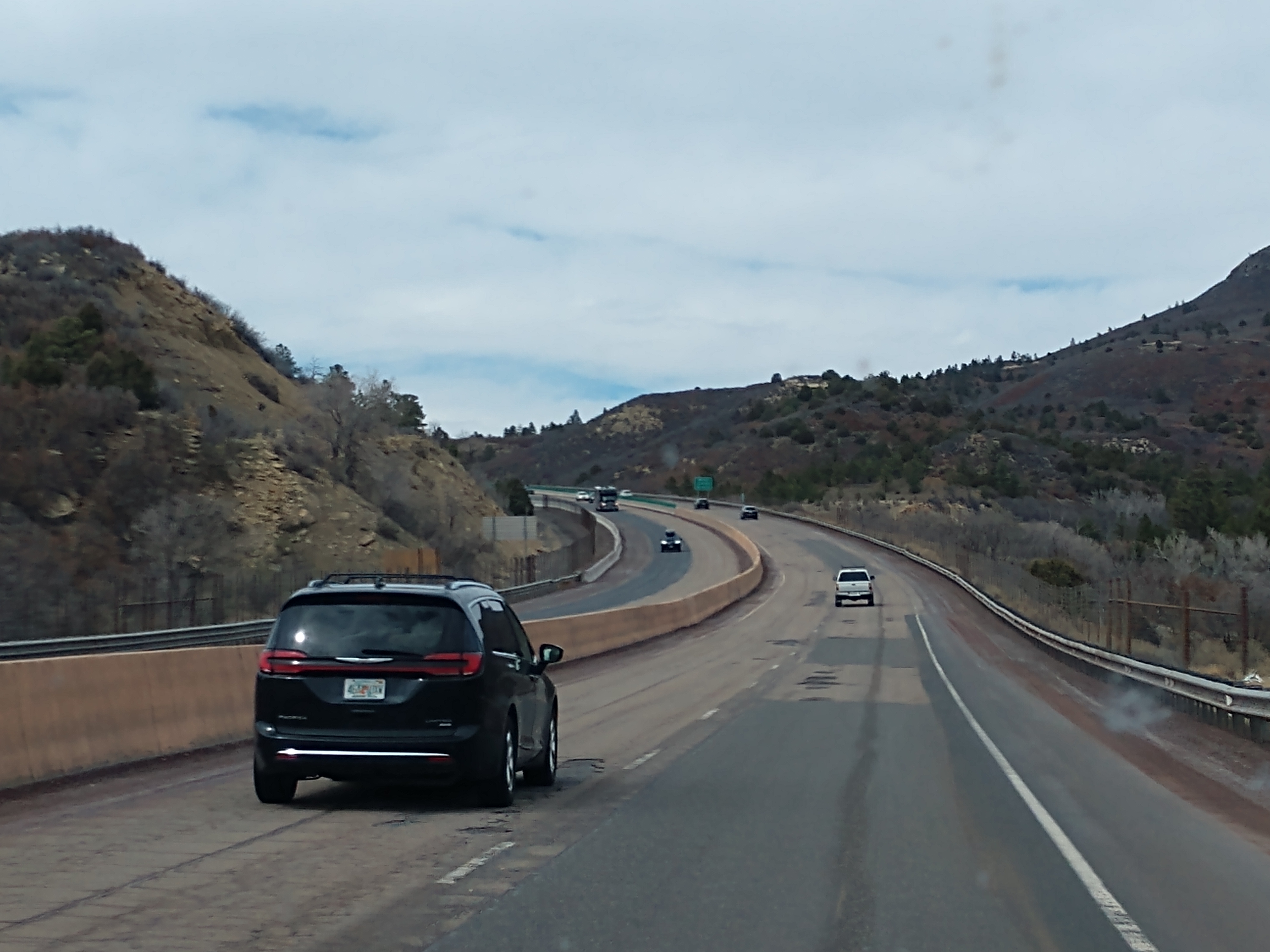
Albuquerque is now 72 miles away.
Albuquerque is now 30 miles away.
We now see our Exit 159C (I-25 North to Sante Fe, New Mexico) coming up on our right.
We exit off to the right and follow the exit around and under the busy interchange area.
However, we are no longer going toward Albuquerque, but are heading toward Santa Fe (which is now 39 miles away).
Now we are continuing to follow I-25 North toward Las Vegas, New Mexico.
Las Vegas, New Mexico is now 61 miles away.
Las Vegas, New Mexico is now 23 miles away.
The Las Vegas, New Mexico sign above told us that the population of Las Vegas was 16,507, and has an elevation of 6,470 feet. It also told us that Las Vegas served as an important stop on the Santa Fe Trail and later as a major railroad center. Here General Kearny announced the annexation of New Mexico by the U.S. in 1846. In 1862, during the Confederate occupation of Santa Fe, Las Vegas served as a Territorial capital. New Mexico Highlands University was established here in 1893.
Las Vegas, New Mexico thrived as a major stop on the Santa Fe Trail, a hub for the Atchison, Topeka and Santa Fe Railroad, and a trade center for several large commercial firms.
Las Vegas was established in 1835 after a group of settlers received a land grant from the Mexican government. (The land had previously been granted to Luis Mara Cabeza de Baca, whose family later received a settlement.) The town was laid out in the traditional Spanish Colonial style, with a central plaza surrounded by buildings which could serve as fortifications in case of attack. Las Vegas soon prospered as a stop on the Santa Fe Trail. During the Mexican–American War in 1846, Stephen W. Kearny delivered an address at the Plaza of Las Vegas claiming New Mexico for the United States. In 1847, the town was the site of the Battle of Las Vegas, which was a part of the broader Taos Revolt by local Hispanos and Pueblo peoples against United States forces. In 1860, the United States Congress passed a law allowing the Cabeza de Baca heirs to choose other grants in lieu of their Las Vegas grant.
We drove into Las Vegas, New Mexico and got gas for the truck at the Speedy Gas Station. We then went to grab a bite to eat at the Burger King and continued on our way.

Wagon Mound is now 20 miles away.


We have now just passed Wagon Mound, which is a village located at the foot of a butte called Wagon Mound -- an important landmark on the Santa Fe Trail. The butte was a navigation point when covered wagon trains and traders traveled along the Cimarron Cutoff of the Santa Fe Trail before joining the Mountain Branch near Watrous, about 20 miles further south.
To early travelers, this outcropping of rock resembled a Conestoga wagon drawn by yokes of oxen. It was often touted as “the last great natural landmark on the Santa Fe Trail.” The volcanic outcroppings and lava palisades formed a significant natural landmark. Today, the mound is National Historic Landmark.
In the Santa Clara Canyon, about three miles northwest of the Wagon Mound, were springs known to early Spanish settlers as the Ojo de Santa Clara. The Wagon Mound, visible for 125 miles from the top of the Raton Pass, was a destination for travelers across the arid eastern plains and marked a stopping point and camping site where water could be obtained.

Springer is now just 8 miles away. Springer is a small town in Colfax County, New Mexico with a population of 1,047.
We are now 34 miles from Raton, New Mexico.
We just passed Raton. Raton is a city and the county seat of Colfax County in northeastern New Mexico. The city is located just south of Raton Pass. The city is also located about 6.5 miles south of the New Mexico–Colorado border and 85 miles west of Texas.
Raton Pass had been used by Spanish explorers and Native Americans for centuries to cut through the rugged Rocky Mountains, and the mountain branch of the Santa Fe Trail cuts through the city, along what is now Business I-25. Raton was founded at the site of Willow Springs, a stop on the Santa Fe Trail. The original 320 acres for the Raton townsite were purchased from the Maxwell Land Grant in 1880. In 1879, the Atchison, Topeka and Santa Fe Railway bought a local toll road and established a busy rail line. Raton quickly developed as a railroad, mining, and ranching center for the northeast part of the New Mexico territory, as well as the county seat and principal trading center of the area.
Pueblo, Colorado (the birthplace of my grandfather Harve Blaisdell) is now 104 miles away.
We still were traveling along the Santa Fe trail.
We have now crossed into Colorado.
We're now at the city limits for Trinidad, Colorado at an elevation of 6,017 feet and a population of 8,329. Trinidad lies 21 miles north of Raton, New Mexico, and 195 miles south of Denver on the historic Santa Fe Trail.
Trinidad was first explored by Spanish and Mexican traders, who liked its proximity to the Santa Fe Trail. It was founded in 1862 soon after coal was discovered in the region. This led to an influx of immigrants eager to capitalize on this natural resource. By the late 1860s, the town had about 1,200 residents. Trinidad was officially incorporated in 1876, just a few months before Colorado became a state. In 1878 the Atchison, Topeka and Santa Fe Railway reached Trinidad, making it easier for goods to be shipped from distant locations. In the 1880s, Trinidad became home to a number of well-known people, including Bat Masterson, who briefly served as the town's marshal in 1882.
Pueblo is now 77 miles away.
Pueblo is now 60 miles away.
Pueblo is now 41 miles away.
We are now beginning to see wind turbines in the landscape.
We have now entered Pueble County, Colorado and Pueblo is now 19 miles away.
We are beginning to see what appears to be a fire in the distance.
The black smoke gets thicker as we get closer.
Something definitely is on fire. Look at the large black pillars of smoke!
As we get closer and closer to the smoke, we realized that the fire must be in Pueblo, Colorado.

Pueblo has a population of 111,876, making Pueblo the ninth most populous city in Colorado. Pueblo is situated at the confluence of the Arkansas River and Fountain Creek, 112 miles south of the Colorado State Capitol in Denver. The area is considered semi-arid desert land, with approximately 12 inches of precipitation annually. With its location in the "Banana Belt", Pueblo tends to get less snow than the other major cities in Colorado.
The current city of Pueblo represents the consolidation of four towns: Pueblo (incorporated 1870), South Pueblo (incorporated 1873), Central Pueblo (incorporated 1882), and Bessemer (incorporated 1886). Pueblo, South Pueblo, and Central Pueblo legally consolidated as the City of Pueblo between March 9 and April 6, 1886. Bessemer joined Pueblo in 1894. The consolidated city became a major economic and social center of Colorado, and was home to important early Colorado families such as the Thatchers, the Ormans, and the Adams.
Pueblo's development stretched beyond agriculture. Steel emerged as a key industry very early, and in 1909 the city was considered the only steel town west of the Mississippi River. Pueblo is one of the largest steel-producing cities in the United States, for which reason Pueblo is referred to as the "Steel City".


The smoke is really thick and black now!
We found out that the fire was burning in Pueblo, Colorado at the EVRAZ steel mill in a building used for storage and staging of resources. The fire sent black smoke over the city of Pueblo Friday afternoon, April 5. Extremely high winds are expected to raise fire to extreme levels along the Front Range through Sunday morning.
The large fire that broke out at the Evraz Rocky Mountain Steel mill Friday, burned multiple buildings, produced billowing clouds of dark black smoke and prompted pre-evacuation notices, air quality public health advisories, and road closures in Pueblo.
After all the excitement of the fire in Pueblo, we continued on our way towards Colorado Springs, Colorado.
We followed Academy Blvd toward the airport.
We then followed US-24 East to the left toward Matheson, Colorado.
Falcon, Colorado is now 6 miles away, while Calhan is 24 miles away.
Falcon, Colorado was founded in 1888. Falcon is an unincorporated community exurb in El Paso County, Colorado. It lies along US-24 about 14 miles northeast of Colorado Springs. A railroad hub in the early 20th century, the town spent several decades as a quiet ranching community until it experienced rapid residential growth throughout the 1990s which has continued increasingly through today. The population of Falcon is 10,514.
In 1888, the area now known as "Falcon" was crossed by the railroads: first the Denver and New Orleans on a rail bed parallel to today's Eastonville Road in 1882, then the Chicago and Rock Island on a rail bed parallel to today's US-24 during 1888. The lines' intersection remains an important center of the Falcon area today.
We got gas for the truck in Falcon at the Love's Gas Station and then continued down the road.
We're now 8 miles from Peyton, Colorado. Peyton, Colorado is a small town located about 30-minutes northeast of Colorado Springs. Peyton was settled in 1888. This area was primarily a farming and mining community but also became a stop on the Chicago-based, Rock Island and Pacific Railroad. Today, Peyton has become more of a bedroom community to the City of Colorado Springs.
There isn't much to Peyton except the General Store (shown above).
Peyton was settled by George Peyton in 1888 and was surveyed and platted on December 25 of that year. Originally called Mayfield, the settlement was renamed Peyton after the post office had been refused under that name because there was already a Mayfield, California. Among the first settlers of Peyton were James and Susan McDermott. With the coming of the Rock Island Railroad they settled in Calhan in 1888 and in 1890 moved to Peyton where Mr. McDermott was the first postmaster and ran a general store for 25 years. His home, which still stands at the southwest corner of Main and Front Streets, was a popular boarding house.
Calhan, Colorado is now 9 miles away.
We were now in the city limits of Calhan with a population of 762. The town straddles US-24. With Calhan sitting at an elevation of 6,535 feet above sea level, Calhan is the highest non-mountain town in the United States. It is also the site of the Calhan Paint Mines Archeological District, a popular natural attraction (see below -- we visited this a few years ago and it was really pretty).

Calhan was established in 1888 as a water station for the now-defunct Chicago, Rock Island and Pacific Railroad, with the first steam locomotive arriving on November 5, 1888. The town was named by and for Michael Calahan, who had the contract to lay railroad tracks from the Colorado/Kansas border to Colorado Springs. However, when the town's first U.S. Post Office opened on November 24, 1888, the middle "a" had been dropped and the town was registered as "Calhan." The town was incorporated as a statutory town in 1919. The town grew quickly, but it was not until 1906 that the Calhan Rock Island Railroad Depot was built to meet the growing needs of the area.
The town of Ramah is 9 miles ahead.
We're now at the town limit of Ramah. Ramah is at an elevation of 6,106 feet with a population of 111. According to tradition, the name is derived from India.
The area was first settled in a place called Old Zounds, which was 27 miles southeast of Kiowa. The post office, called O.Z. because the applicant just used the initials, existed until at least 1881. The post office was moved from Old Zounds to nearby Ramah in 1889.
Ramah began as a small railroading town along the Rock Island Railroad in the late 1800s. It was incorporated on July 18, 1927. During its peak, it was home to several hundred residents. Eventually, by the mid-1900s, the railroad was shut down, and Ramah suffered, since the railroad connected it to Colorado Springs, forty miles to the southwest. Despite its decline, Ramah continues to exist, with ranching as the mainstay of its economy.
We are now five miles from Simla, Colorado and we have just crossed in Elbert County, Colorado.
We're now at the Simla city limit with an elevation of 6,029 feet.
Simla, a statutory town in Elbert County, Colorado is 48 miles northeast of Colorado Springs, with a population of 601. Simla was founded in 1909 by a man with the name of Altman. Simla was named because the daughter of a railroad official was reading a book about India when she came across the name, Simla. Settled in the 1880s, Simla was incorporated in 1912. The first newspaper was started in 1911. It was a center for the shipping of the area's potato harvest each year.
Matheson, Colorado is now only about 7 miles away.
We're now in Matheson. Matheson is a census-designated place and post office in and governed by Elbert County, Colorado. The Matheson post office has the ZIP Code 80830 and a population of 79. The town was named after Duncan Matheson, the original owner of the town site.
(Map of Matheson, CO)
We turned right onto County Road 149 and continued along the gravel road to the Griffin Ranch of Skeeter and Debbie.
We now saw the 'Welcome to the Town of Matheson Unincorporated' sign.


No comments:
Post a Comment